Following on from the first post in this series on OS Maps of Northern England, this is the North Yorkshire one. In this post I will look at what maps cover North Yorkshire and what the interesting features are on each. I will also highlight which maps cover the North York Moors National Park and the Yorkshire Dales National Park.
Other articles in this series:
- OS Maps of Northern England – Intro
- OS Maps of Northern England – Northumberland
- OS Maps of Northern England – Cumbria
- OS Maps of Northern England – Tyne & Wear
- OS Maps of Northern England – Durham
Declaration: We are a participant in the Amazon Services LLC Associates Program, an affiliate advertising program designed to provide a means for us to earn fees by linking to Amazon.com and affiliated sites.
North Yorkshire is the largest county in England. It is lucky enough to have two National Parks wholly or partially within it. These parks are the North York Moors and Yorkshire Dales National Parks. So it is no surprise that the quantity of maps required to cover this area is large.
Up to 2016, all of the Yorkshire Dales National Park was in North Yorkshire. However, extensions to the National park made in 2016 mean that 28% of it is now in Cumbria and 1% is in Lancashire. Usually the Outdoor Leisure maps for a particular region would cover the National Parks in it, but the extensions mean that the park now drifts onto other maps.
OS Grid references
In the text beside the maps, I have added some OS Grid References. These are the figures with two letters, followed by six numbers. If you’re familiar with OS maps, you’ll know what they are. If not, no matter. The Ordnance Survey have a great beginner’s guide to OS Grid References. Anyway, each one of these Grid References is a link. If you click it, it will open the OS online map and centre on the place linked to the reference. Try this one (SD 738 814). It is the triangulation point at the highest place in North Yorkshire, Whernside.
The main maps
It takes in total 14 maps to cover the majority of North Yorkshire. Explorer OL26 and Explorer OL27 cover the North York Moors National Park. Explorer OL30 and Explorer OL2 cover the majority of the Yorkshire Dales. One of the Outlying maps, Explorer OL19, covers the remainder of the Yorkshire Dales National Park, including the extension. Explorer 289, Explorer 297, Explorer 298, Explorer 299, Explorer 302 and Explorer 304 cover the central part of North Yorkshire. Explorer 290 covers York, primarily, along with surrounding areas and southern parts of North Yorkshire. Explorer 300, Explorer 301 and Explorer 306 cover the eastern and coastal areas that are not covered by other maps.
- OS Explorer 306 Middlesbrough & Hartlepool
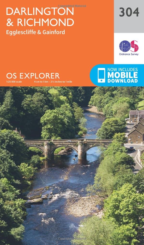
- OS Explorer 304 Darlington & Richmond
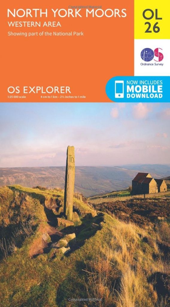
- OS Explorer OL26 North York Moors – Western Area
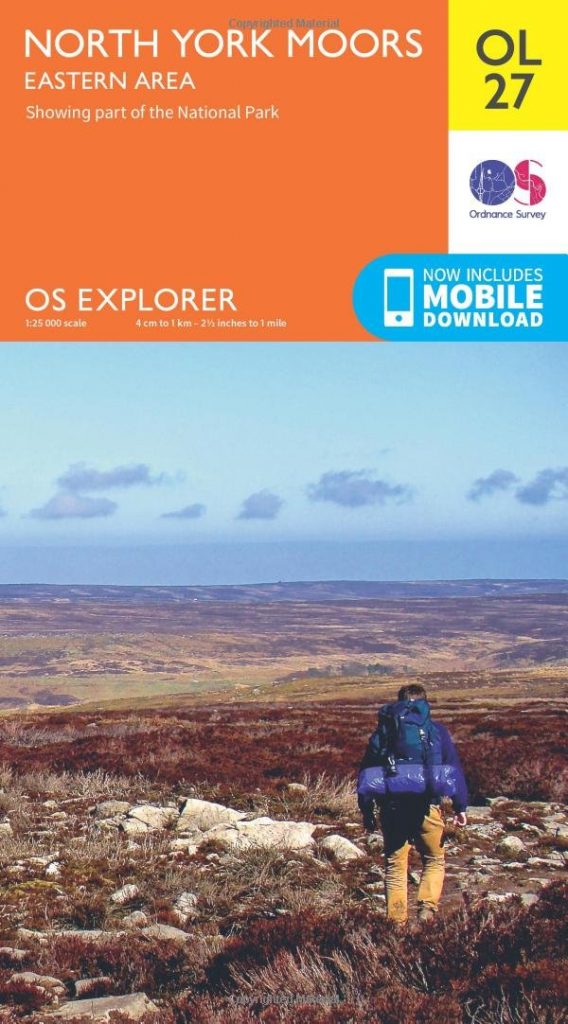
- OS Explorer OL27 North York Moors – Eastern Area
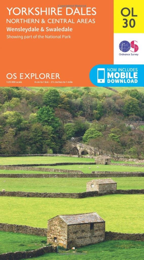
- OS Explorer OL30 Yorkshire Dales – Northern & Central Areas
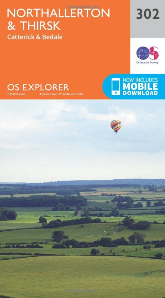
- OS Explorer 302 Northallerton & Thirsk
- OS Explorer OL2 Yorkshire Dales – Southern & Western Areas
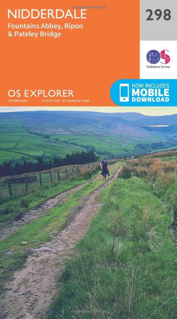
- OS Explorer 298 Nidderdale
- OS Explorer 299 Ripon & Boroughbridge
- OS Explorer 300 Howardian Hills & Malton
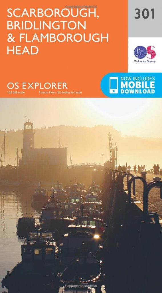
- OS Explorer 301 Scarborough, Bridlington & Flamborough Head
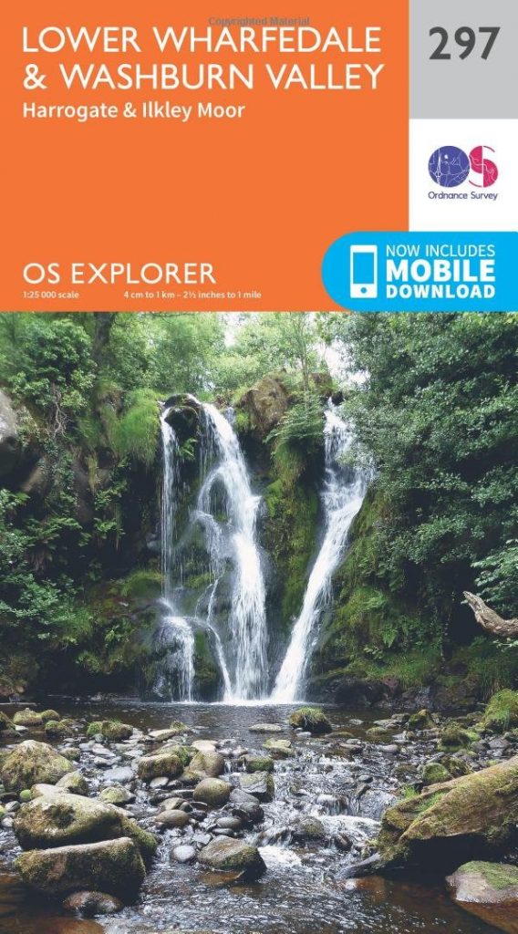
- OS Explorer 297 Lower Wharfedale & Washburn Valley
- OS Explorer 289 Leeds
- OS Explorer 290 York
Outlying maps
These are maps that are required to fill in the gaps where the main maps don’t cover. There are a few areas and the four maps below should fill in the gaps. Explorer OL41 covers a small area close to Skipton that is not on Explorer OL2. Explorer 294 covers a tiny area east of York. Explorer OL21 covers a small southwestern area of North Yorkshire that are missed by Explorer OL2 and Explorer 297. Explorer OL19, covers the areas of the Yorkshire Dales National Park, that are not on the main maps. It also covers the extension to the National Park, that was approved in 2016.
- OS Explorer OL41 Forest of Bowland & Ribblesdale
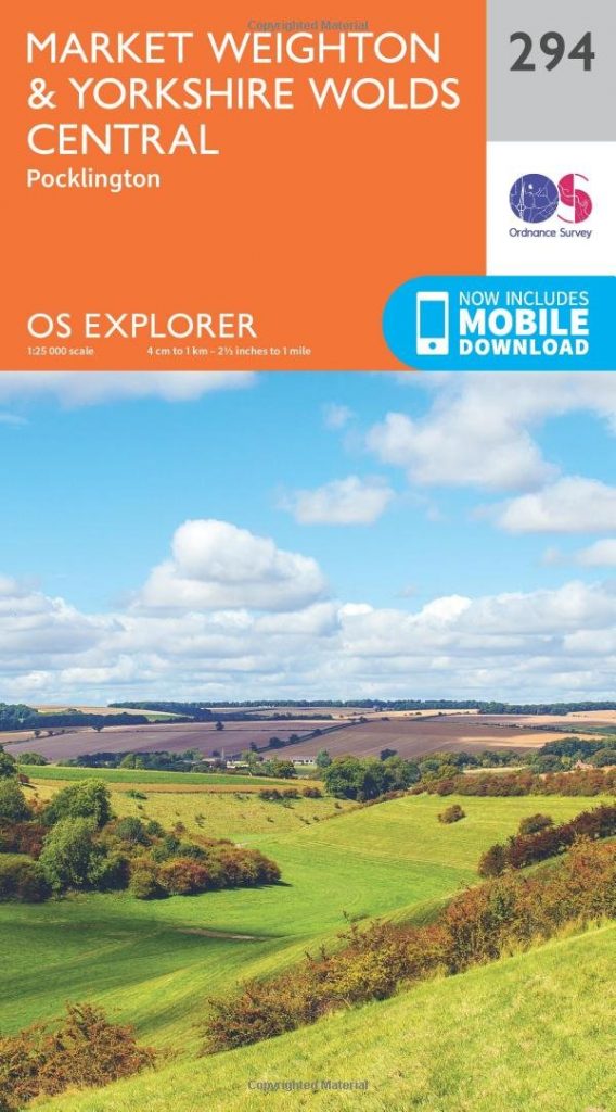
- OS Explorer 294 Market Weighton & Yorkshire Wolds Central
- OS Explorer OL21 South Pennines
- OS Explorer OL19 Howgill Fells & Upper Eden Valley
Where to buy OS Maps of Yorkshire
The maps are available in both paper and electronic form and from many sources. For convenience though, they are available on Amazon and at very reasonable prices. All of the maps below are linked directly to the maps available from Amazon. Just click on them and you can quickly have them delivered directly to your address.
Gazetteers
I have prepared a gazetteer to allow you to check which map that places in North Yorkshire are on. This is a useful reference if you know the place but aren’t sure where it is or what map it appears on. Take a look.
The main maps
These maps cover significantly sized areas of North Yorkshire. The smaller areas are dealt with in the Outlying maps section.
OS Explorer 306 Middlesbrough & Hartlepool
The top half of this map is Durham but the bottom half is North Yorkshire.
The North Yorkshire boundary follows the River Tees here. A large proportion of Middlesbrough is on this map. The industrial sites along the Tees are clearly visible, with the infamous Wilton Chemical Works (NZ 574 216), once owned by ICI, covering almost 9sqkm.
Given that this area is very industrialised, it is surprising that there are lots of nature reserves here. Large areas of the industrial land adjacent to the Tees are designated as Coastal Margin, and Open Access. Although the industrial sites restrict the degree of access.
The Teesdale Way passes along the Coastal Margin and ends at the lighthouse on the South Gare Breakwater. The England Coast Path also passes through this map.
The coastal part of this map show the popular seaside resorts of Redcar, Marske-by-the-sea and Saltburn-by-the-sea. It’s not difficult to see the attraction from the map. To the north, there is Coatham Sands (NZ 674 126). This offers about 7km of sand from Redcar to the Tees. south of Redcar Rocks is Redcar Sands, Marske Sands, and Saltburn Sands. About another 8km of beautiful beach.
OS Explorer 304 Darlington & Richmond
The North Yorkshire county boundary follows the River Tees until it veers southwards, about half way between Darlington and Barnard Castle, which are both in County Durham. The southern two thirds of the map are North Yorkshire.
Richmond (NZ 171 009) is the main settlement on this map. It gives its name to the district of Richmondshire. It is a market town on the River Swale and is close to the Yorkshire Dales National Park and Swaledale. Richmond Castle (NZ 171 007) overlooks the banks of the Swale and is well worth a visit.
This map is also where the A66 and A1 cross at Scotch Corner (NZ 216 053). The A66 goes West to Penrith in Cumbria and, further on, The Lake District. Coming up the A1, it was always a marker that I was only about 30 minute from home.
On the bottom edge of the map is Catterick (SE 240 981). It’s just a small village but famous for the nearby racecourse, the garrison and, more recently the TV series. Catterick Garrison (SE 182 976) was created during the First World War and is actually closer to Richmond than Catterick. There is a barracks that takes up a significant portion of the village though.
OS Explorer OL26 North York Moors – Western Area
This is the first of two maps that cover the North York Moors National Park. This map covers the western side and Explorer OL27 covers the east.
The North York Moors is a large area of heather moorland, with wooded valleys at its edges. Whilst the walking on the moors is wonderful, many of the most interesting places are at the edges.
Anybody that has been to Rievaulx Abbey (SE 576 850) will not forget it. By road, it is not visible until you reach it. Sited in a dramatic steep sided valley is this huge ruined abbey. It is now managed by English Heritage. I have visited many times and it still impresses me.
About 7km South West of Rievaulx is Byland Abbey (SE 549 790). More ruined than Rievaulx but no less impressive.
This area has more than its fair share of abbeys. There is even a more modern working abbey, Ampleforth Abbey and School (SE 598 788). Some of you might have heard of Ampleforth but maybe because they make Ampleforth Abbey Cider from their extensive orchards.
Helmsley (SE 613 839) is a small market town, on the way from Thirsk to Pickering. It is on the southern edge of the moors and is the only market town in the North York Moors National Park. It has a the wonderful Helmsley Castle (SE 611 837), and is a great place to pause on your exploration of the area.
Helmsley is also the start of the Cleveland Way. This 109 mile long distance walking route crosses the Hambleton Hills and Cleveland Hills, that make up the western side of the moors. The Cleveland Way ends in Saltburn-by-the-Sea. Helmsley is also the end of the Tabular Hills Walk. This is a 48 mile route, from Scarborough, is designed to allow the Cleveland Way to be turned into a circular route.
Possibly the first stopping point on the Cleveland Way is Sutton Bank Visitor Centre (SE 516 831). This is a great area to visit the outdoors. Sutton Bank and Whitestone Cliff have some great walking and spectacular views. Sutton Bank is also infamous for being a very steep (1 in 4) road on the way from Thirsk to Helmsley.
If you take the path along the top if the cliffs, about 2km, you reach the Kilburn White Horse. This is a large figure of a horse, cut into the side of the hill. It was created in the mid-19th century, but this is not chalk like those of the south. It has to be artificially whitened, periodically.
Lastly, the small village of Kilburn (SE 513 796) is just south of Sutton Bank. This was the home of Robert Thompson, the Mouseman. If you’ve ever watched antiques programmes, you’ll know him as the man who carved mice onto furniture. His furniture business still exists in Kilburn.
OS Explorer OL27 North York Moors – Eastern Area
This is the second of the maps that cover the North York Moors National Park and, after the western side, it has something to live up to.
Pickering (SE 798 840) is another market town but, unlike Helmsley, it is just outside of the National Park. It is, however, famous for the North York Moors Railway (NYMR). The TV series about NYMR shows Pickering at its best, especially during the yearly 1940s Wartime Weekend.
If you take a trip along the NYMR, you’ll probably stop at Goathland (NZ 837 014) or Grosmont (NZ 8282 053). Two lovely little villages to the northeastern edge of the National Park.
Whitby (NZ 899 111) is the other end of the NYMR. It is also famous for many other things, including fish and chips, Whitby Abbey and the connection with Bram Stoker’s Dracula.
Just South of Whitby is Robin Hood’s Bay (NZ 951 054). This a pretty little fishing village, with a great deal of history. More notable these days for being the end of the 182 mile Wainwright’s Coast to Coast Walk.
The bigger seaside resort of Scarborough (TA 037 884) is about 12 miles south of Whitby. This is still a very popular tourist destination today.
OS Explorer OL30 Yorkshire Dales – Northern & Central Areas
This is one of two maps specifically for the Yorkshire Dales National Park. The National Park does extend onto a third map, Explorer OL19, and technically into Cumbria too, but that’s alright.
The A684 cuts right across the middle of the map, from Leyburn (SE 115 904) in the east, to Hawes (SD 874 898) in the west. In my opinion, this road gives access to some of the most beautiful places in the Yorkshire Dales. Leyburn itself is lovely but Aysgarth, Bainbridge, and Askrigg are proper Dales villages and Hawes is a great centre for walking the Dales.
Close to Hawes is the small village of Hadraw (SD 867 912). This is the home of the a 13th century inn, the Green Dragon Inn, This pub also serves as the gateway to Hadraw Force, yet another waterfall.
Kettlewell (SD 972 724) is at the heart of Wharfedale and is right at the bottom of this map. It is another hotspot for outdoor activities.
Long distance walking is plainly popular on this map. The long distance routes, A Pennine Journey, the Dales Way and the Pennine Way all run through this map.
OS Explorer 302 Northallerton & Thirsk
This maps is situated almost centrally in North Yorkshire. It covers a large area of what has come to be known as Herriot Country.
Northallerton (SE 369 939) is situated in between the A1 and the A19. It is the biggest market town on this map and a great place to stay while exploring the other parts of North Yorkshire.
Thirsk (SE 429 821) is the centre of James Herriott country and the home of James Herriot, the fictional persona of the author Alf White. Those of you that have read his books will recognise many of the places around here.
Across the A1 from Northallerton is Bedale (SE 266 882). It is another small friendly Yorkshire market town. Bedale is the second station on the The Wensleydale Railway, a heritage line operating from Leeming Bar (SE 286 901) and stretching west to Redmire (SE 047 915), near Castle Bolton.
Catterick Garrison (SE 182 976) is up in the top left of the map and is closer to Richmond than to Catterick itself. It was established during the First World War.
Jervaulx Abbey (SE 169 857) is independently owned and managed. It is smaller than Fountains and Rievaulx but, because it is managed differently to the English Heritage abbeys, it has a charm of its own. One of the best things about Jervaulx is the tea room. This is owned and run by the family that own Jeraulx Abbey. It specialises in homemade fayre and I can recommend it.
South of Bedale is Masham (SE 225 807). There are plenty of interesting things about Masham but they are completely overshadowed by the breweries. Both the Theakston Brewery and the Black Sheep Brewery are situated in the village.
OS Explorer OL2 Yorkshire Dales – Southern & Western Areas
Explorer OL30 might have pretty villages but the main attractions are on this map. The three peaks, the wonderfully named Pen-y-Ghent, the mighty Inglebrough and the biggest Whernside, are all on this map.
Pen-y-ghent (SD 839 734) at 694m is the smallest but most distinctive of the three. It’s sides rise steeply from the relatively flat countryside surrounding it and the geology gives its sides huge rocky steps.
Inglebrough (SD 741 746) at 724 is the second highest and has the same geology as Pen-y-ghent. It looks similar but not as distinctive. This is mainly due to the high fells surrounding it.
Whernside (SD 738 814) at 736m is the highest by 12m but the least impressive.
The whole area is peppered with waterfalls, caves and pot holes. Most of them on the sides of Ingleborough. Thornton Force and Pecca Falls are on the River Twiss. Beezley Falls and Snow Falls on the River Doe. White Scar Cave (SD 714 746) is on the Ingleton side of Ingleborough and Ingleborough Cave (SD 753 711) is on the opposite side. Gaping Gill (SD 751 727) is a 98m deep pot hole and is the public access point to one of the largest known underground chambers in Britain.
My favourite village in the Dales is Malham (SD 901 628). It’s a pretty little village but it’s Janet’s Foss, Goredale Scar and, most important of all, Malham Cove, that really make it special. There is also the very picturesque Malham Tarn a little further away.
Skipton (SD 990 519) in situated on the Leeds and Liverpool Canal and close to the River Aire. It is the centre for many a holiday in the Yorkshire Dales. There is a heritage railway here, that goes from Embsay to Bolton Abbey. Skipton Castle is the centre piece of Skipton and is a must visit.
If you are more interested in culture than climbing then maybe Bolton Abbey (SE 072 539) is more to your tastes. It is yet another impressive Yorkshire abbey. Also, the walking by the River is great, with a lovely set of stepping stones across the River Stridd, if you feel like chancing it.
Settle (SD 819 635) is at one end of the Settle-Carlisle Railway. Threatened with closure twice, it has survived to be one of the most scenic railway lines in the country. It has some wonderful features, like Dent, the highest station in England (technically in Cumbria) and the 24 arch Ribblehead Viaduct (SD 759 795) which is definitely in Yorkshire.
OS Explorer 298 Nidderdale
As the title says, this map covers a large portion of Nidderdale, from its source down to just outside Knaresborough. This part of Nidderdale is an Area of Outstanding Natural Beauty (AONB).
Ripon (SE 313 712) appears on this map but is mainly a part of Explorer 299, so I won’t go too much into it here, other than to say that it has a cathedral and so is therefore a city.
Fountains Abbey and Studley Royal (SE 272 687) is situated just to the southwest of Ripon. If you come to this area, this should be the number one on the list of places to visit. It consists of Fountains Abbey (similar to Rievaulx Abbey) and the formal gardens of Studley Royal. It is managed by National Trust.
Brimham Rocks (SE 206 650) is just to the east of Pateley Bridge. It is another National Trust site, consisting of impressive moorland rock formations, and is an SSSI.
The Ripon Rowel Walk is almost completely on this map. Only a short section, passing through Masham (SE 225 807), and a portion south of Ripon are not on this map. See Explorer 302 for that bit.
Part of the Ripon Rowel Walk passes by Grewelthorpe and Hackfall (SE 230 762). This is a beautiful wooded and open access valley on the River Ure. Grewelthorpe provides access and facilities for Hackfall.
Pateley Bridge (SE 159 686) is a little market town at the heart of the Nidderdale AONB. It’s a proper Dales town, situated on the River Nidd. It is the place where the Nidderdale Way and the Six Dales Trail meet.
OS Explorer 299 Ripon & Boroughbridge
Ripon (SE 313 712) has a cathedral, so it is a city. It’s a very small city and smaller than many towns, but a city all the same. The cathedral is lovely but I prefer the trio of museums; the Prison and Police Museum, The Courthouse Museum and the Workhouse Museum.
Horse Racing lovers will know Ripon for its racecourse, which sits to the southeast of Ripon and between the River Ure and the Ripon Canal.
Lightwater Valley (SE 285 758) is a Theme Park north of Ripon. It was originally a fruit farm but became a leisure park in the 1970s. After installation of the first roller coaster, “The Rat”, in the 1980s, it became a theme park.
The Eastern part of the Ripon Rowel Walk is on this map. It is a long distance circular walk, taking in the best parts of the area to the west of Ripon.
Boroughbridge (SE 396 667) is a town situated by the A1. Anyone that regularly travelled north on the A1 will recognise Boroughbridge as the place where the A168 (for the A19) joins the A1. This is actually a few miles further north, by Dishforth airfield. (SE 380 718)
OS Explorer 300 Howardian Hills & Malton
At the centre of this map is what, at first glance, appears to be one town (SE 787 715). Closer in, it is labelled both Malton and Norton-on-Derwent. Malton is to the north side of the River Derwent and Norton on the south, a bit like Newcastle and Gateshead.
Malton is in the Howardian Hills and Norton is in the Yorkshire Wolds. The River Derwent splits the map down the middle.
The River Rye, that flows by Rievaulx Abbey, joins the River Derwent, to the northeast of Norton. The Derwent flows south and eventually into the Ouse and then the Humber.
Castle Howard (SE 715 701) is one of the main attractions in Yorkshire. It is not a castle though. It is a stately home. It was made famous in the 1980s as Brideshead, in the TV series Brideshead Revisited.
Just outside Malton is Eden Camp (SE 798 736). This was a WW2 prisoner of war camp. It is now a modern history museum. After WW2, it had various uses until someone bought it with the intention of building a crisp factory. Circumstances changed and the museum was born in 1987.
Flamingo Land (SE 777 798) is a zoo and is one of the most visited in the country. I first became aware of it in the 1970s, when I visited as a boy. I can’t remember much about it other than there were flamingos, as promised. However, this zoo has been here since 1959 and is still a huge Yorkshire tourist attraction today.
As would be expected in a relatively low lying area, walking is big here. There are several long distance trails; The Yorkshire Wolds Way, the Centenary Way, the Chalkland Way and the Ebor Way.
The Yorkshire Wolds Way is a 79 mile route from Hessle, at the North end of the Humber Bridge, to Filey. Paul Rose made a TV series for the BBC about this route. It was first broadcast in 2018.
The Centenary Way is a 12 mile route from York Minster to Sheriff Hutton.
The Chalkland Way is a 40 mile circular walking route that people generally start and finish in Pocklington. It takes in the Yorkshire Wolds.
The Ebor Way is a 70 mile walk around the Howardian Hills and the Vale of York. It starts in Helmsley and finishes in Ilkley. It joins the Cleveland Way and Dales Way.
OS Explorer 301 Scarborough, Bridlington & Flamborough Head
This map fills in the bit of North Yorkshire that is at the southeast of the North York Moors National Park. The main features are Scarborough and Filey.
Scarborough (TA 040 884) is a seaside resort about 12 miles south of Whitby. This is still a very popular tourist destination today. Just to the south of the town is Oliver’s Mount (TA 040 869). This is a favourite of bikers, as the Oliver’s Mount Festival bike races take place every June.
Filey (TA 114 807) is another seaside resort but on a smaller scale than Scarboough. However, it has an advantage over Scarborough, the 9km of beach to the south.
As this map has an area of coast, the England Coast Path runs through it.
OS Explorer 297 Lower Wharfedale & Washburn Valley
Harrogate is on this map but it is mainly discussed on Explorer 289. The other towns on the map are not in North Yorkshire.
The main features on this map are the multitude of reservoirs on the River Washburn. The source of the River Washburn is Pock Stones Moor, South West of Pateley Bridge.
Thruscross Reservoir (SE 171 579) is the highest reservoir on the Washburn and the most remote.
Fewston Reservoir (SE 180 547) begins at the small village of Blubberhouses. What a great name. Nothing to do with whales though. It means houses at the bubbling stream. Like the other reservoirs, it is popular for walking.
Swinsty Reservoir (SE 195 536) is directly below Fewston Reservoir on the Washburn and shares many of the walking paths with that reservoir.
Lindley Wood Reservoir (SE 215 493) has some paths but, unlike the others, there is not a path round the it.
As a bonus there is a Valley of Desolation (SE 081 566) on this map. It’s a wonderful name, that conjures up all kinds of Tolkien like ideas. The reality is that a storm desolated this valley in the 19th century. It is, in fact, a beautiful place now.
OS Explorer 289 Leeds
Only the top part of the map is North Yorkshire. The rest is mainly West Yorkshire. A peculiarity of county boundaries is located at Wetherby. The boundary follows the River Wharfe, most of its way, but at settlements like Wetherby it veers north and around the town. This probably goes back to when the area was divided up into Ridings long ago.
Harrogate is a spa town and two of the main attractions are the Royal Pump House Museum (SE 298 554) and the the Turkish Baths (SE 300 555). The Pump House has many exhibits and charts the history of the spa water and often allows visitors to visit the original springs beneath the museum. From personal experience, the Turkish Baths are a wonderful place to relax, whether you want to just lie down and read or enjoy the hot rooms, steam room or plunge pool.
Knaresborough (SE 348 571) has a ruined castle and beautiful viaduct but the main attraction is Mother Shipton’s Cave, once owned by Paul Daniels, with its cave and petrifying well.
Harrogate is adjacent to Knaresborough. Whilst they are on the same railway line, and you can get a train to and from each, the town centres are only 5km apart. The railway makes a big ‘S’ between the two towns.
There are wonderful paths in the area. The Harrogate Ringway surrounds the town and joins up with paths to Knaresborough.
The River Nidd and Warfe, that give their names to the dales further upstream, run through this map.
OS Explorer 290 York
The City that gives it’s name to both the map and the entire group of counties around it. York (SE 602 522) is one of the most historical cities in Britain. It was once the capital of England and home to Richard III and the House of York. Guy Fawkes was born in York.
York Minster is a cathedral but is called a minster as it was build as part of a monastery. It is probably one of the best cathedrals that I’ve been to.
York is also famous for chocolate. Many will see Cadbury’s, in Birmingham, as the centre for chocolate. However, both Rowntree’s and Terry’s are from York. Terry’s was founded in York in 1767 and stayed there until it was closed in 2005. Rowntree’s was founded later than Terry’s, in 1862 and is still in York.
Selby (SE 614 324), like many places in Yorkshire, has an abbey. It also has a toll bridge, which was once the main crossing of the River Ouse on the A16 trunk road. Tolls haven’t been in operation since 1991 but I do remember crossing it just before then and paying something like 20p to cross.
Tadcaster (SE 485 434) is a small market town close to Selby. It has a long history but these days is most famous for being a main centre for brewing. There are three breweries currently in the town. The John Smith’s brewery is probably the most famous but it is the only independent brewery, Samuel Smiths, that is best known in these parts. Samuel Smith was a brother of John Smith and inherited part of his brewery on his death.
Outlying maps
These are maps that are required to fill in the gaps where the main maps don’t cover. There are a few areas and the four maps below should fill in the gaps.
OS Explorer OL41 Forest of Bowland & Ribblesdale
There is a tiny bit (about 50sqkm) of North Yorkshire that only appears on Explorer OL41. Whilst every settlement is worth mentioning, the OL41 map is really Lancashire.
Hellifield (SD 856 565) is one of the stations on the Settle-Carlisle Railway.
Wigglesworth (SD 810 569) is the only other settlement, in this part of Yorkshire, that is not included on another map.
Other areas of Yorkshire, that are on this map, are included in Explorer OL2.
OS Explorer 294 Market Weighton & Yorkshire Wolds Central
This map covers a tiny corner of North Yorkshire, close to York. The county boundary just drifts down onto the top left corner of this map. Only about 15sqkm of the county is on here.
The village of Buttercrambe (SE 734 583) is the only significant settlement in this small area.
OS Explorer OL21 South Pennines
This is another of the maps that cover parts of North Yorkshire that are not on the main maps. It is a reasonably populous area of Craven but this map mainly covers Lancashire.
Skipton (SD 990 519) is on this map but it mainly appears on Explorer OL2.
Other settlements include Cowling (SD 968 431), Glusburn (SE 007 451) and Sutton-in-Craven (SE 007 441). All of these are centuries old, having been listed in the Domesday Book.
The River Aire and the Leeds & Liverpool Canal appear on this map, running adjacent to each other.
OS Explorer OL19 Howgill Fells & Upper Eden Valley
This map is important for the Yorkshire Dales National Park, as it contains the extension to the North West corner, that was granted in 2016.
The peculiar thing about this map, and the reason that I have not included it in the main section is that this map mainly covers Cumbria. Not only that, the extended portion of the Yorkshire Dales National Park is also in Cumbria. No matter. I’ll just look at the interesting bits in Yorkshire and maybe do the rest in the Cumbria article.
The Settle-Carlisle Railway line creeps back into Yorkshire on here. Only for about 3 miles though and there are no stations in that bit.
A Pennine Journey continues through this map, roughly adjacent to the railway but up on side of Lunds Fell in The High Way (SD 796 952), and for about the same distance.
Hadraw (SD 867 912) appears on this map. It also appears on Explorer OL30. The Pennine Way goes through Hadraw and continues over this map until it falls off the map towards Muker.
About half way between Hadraw and Muker, on Cliff Gate Road, is the Buttertubs Pass (SD 873 961). This location is popular with motorists, for its scenic quality but is a magnet for cyclists. This was used as a major climb in the Tour de France, when it came here in 2014.
The two other points of interest are Great Shunner Fell (SD 849 973), which is the highest point in Wensleydale and Cotter Force. Cotter Force (SD 848 920), is a 6-step waterfall, which is wheelchair accessible.
Look out for the next in the OS Maps of Northern England series.
If you liked this post, why not take a look at the others:
- OS Maps of Northern England – Intro
- OS Maps of Northern England – Northumberland
- OS Maps of Northern England – Tyne & Wear
- OS Maps of Northern England – Durham
More coming soon!
Walking North England – Anything and everything about walking in Northern England


