This is the third in my series of articles on OS Maps of Northern England. This one is for the county of Tyne & Wear. In this post I will look at what maps cover Tyne & Wear and what the interesting features are on each.
Other articles in this series:
- OS Maps of Northern England – Intro
- OS Maps of Northern England – Northumberland
- OS Maps of Northern England – Cumbria
- OS Maps of Northern England – Durham
- OS Maps of Northern England – North Yorkshire
Declaration: We are a participant in the Amazon Services LLC Associates Program, an affiliate advertising program designed to provide a means for us to earn fees by linking to Amazon.com and affiliated sites.
This is the smallest county in the region, at around 20% the size of North Yorkshire, and I considered including it with either Northumberland or Durham. But, in the end, this is where I live, so it didn’t feel right to ignore it and it wasn’t really that difficult.
The majority of the maps are taken up by the cities of Newcastle upon Tyne and Sunderland and the conurbations surrounding them. That’s not to say there isn’t anything interesting here. There are some real gems here, and because urban transport networks are excellent, they are all accessible.
OS Grid references
In the text beside the maps, I have added some OS Grid References. These are the figures with two letters, followed by six numbers. If you’re familiar with OS maps, you’ll know what they are. If not, no matter. The Ordnance Survey have a great beginner’s guide to OS Grid References. Anyway, each one of these Grid References is a link. If you click it, it will open the OS online map and centre on the place linked to the reference. Try this one (NZ 334 544). It is the highest point of Penshaw Hill, by Penshaw Monument.
The maps
As Tyne & Wear is small, it only takes three maps to cover this county. One of them (Explorer 307) only has a small part of Tyne & Wear on it. There is no National Park or significant natural features, like mountains or forests, so there are no OL (Outdoor Leisure) maps here. Explorer maps 316, 307 and 308 are the maps for this county.
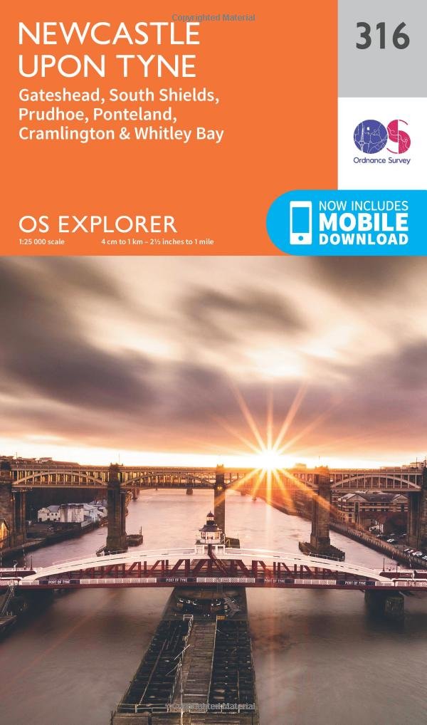
- OS Explorer 316 Newcastle upon Tyne
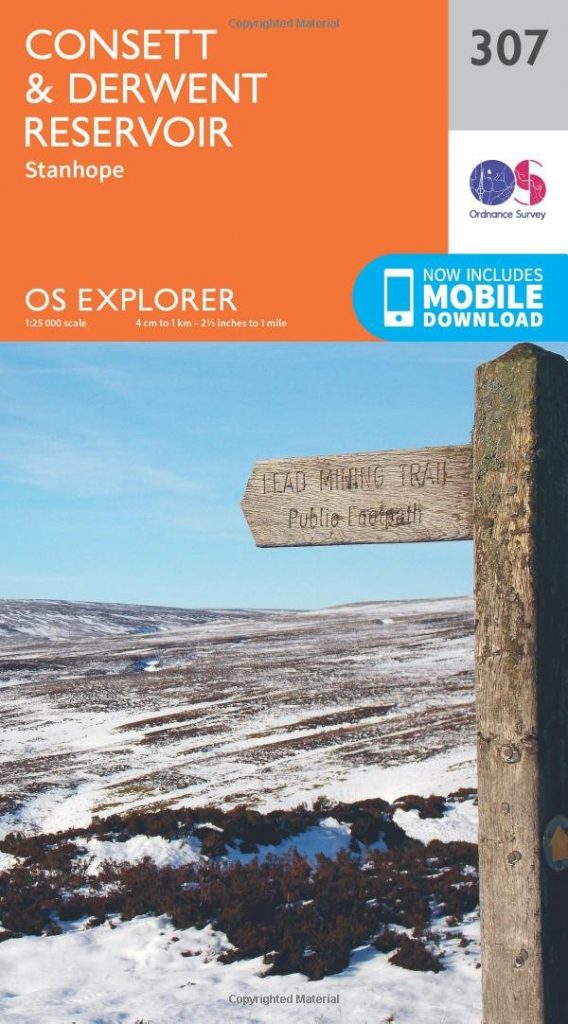
- OS Explorer 307 Consett & Derwent Reservoir
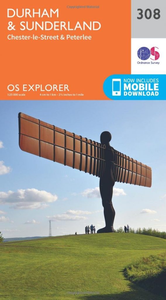
- OS Explorer 308 Durham & Sunderland
Where to buy OS Maps of Yorkshire
The maps are available in both paper and electronic form and from many sources. For convenience though, they are available on Amazon and at very reasonable prices. All of the maps below are linked directly to the maps available from Amazon. Just click on them and you can quickly have them delivered directly to your address.
Gazetteers
I have prepared a gazetteer to allow you to check which map that places in Tyne & Wear are on. This is a useful reference if you know the place but aren’t sure where it is or what map it appears on. Take a look.
OS Explorer 316 Newcastle upon Tyne
This map covers the whole northern half of this county, from the outskirts of Corbridge in the West to the mouth of the Tyne in the east. That is about half of the River Tyne.
I was born in South Shields, brought up in Boldon and now live in Gateshead. All are on this map. So, it’s a bit special.
With the River Tyne being the most prominent feature, I should point out the significant features along it.
At Corbridge, there is an odd shape right on the banks of the river. Man made mounds. These are locally called The Spetchells and are chalk spoil heaps from fertiliser production at what was an ICI plant in the middle of the 20th century. Nature has taken them back though and these are now rare chalk habitats in the heart of the North East.
Wylam has a disused railway running through it, that is now part of the River Tyne Trail. The significance of this is that it passes the birthplace of George Stephenson, the railway pioneer.
Newcastle is easily identified on this map, by its collection of bridges. There are seven in total and what a collection. Among various road and rail bridges, there is the Millenium “blinking-eye” bridge, the Swing Bridge and the iconic Tyne Bridge.
As we get towards Tynemouth, the evidence of the shipbuilding past is visible. Whilst the yards are mostly gone, the notches that are dry-docks can still be seen along the banks of the Tyne.
Between Jarrow and Howdon, you can see the tunnels under the Tyne. There are three, the pedestrian tunnel, the original Tyne Tunnel and the much more recent addition to the Tyne Tunnel.
Following alongside all of these features is Hadrian’s Wall, or at least the route of it. The end of the Wall is obviously at Wallsend. Segedunum is an excavated fort, museum and visitor centre, and is well worth a visit.
I have to mention the coastal part of this map. To the north, there is Tynemouth Priory and Whitley Bay. To the south is South Shields and the magnificent limestone cliffs extending down to Marsden Bay and Souter Point, home of Souter Lighthouse, the first lighthouse to be powered by electricity.
OS Explorer 307 Consett & Derwent Reservoir
Only a small part of this map covers Tyne & Wear. The rest is Durham and Northumberland. But the bit that it does cover includes some beautiful places. Most significant is the Derwent Valley.
The Derwent Valley is the subject of a project to highlight its history. This project is The Land of Oak and Iron, reflecting its place in the foundation of iron and steel working in Britain.
Near Consett, once famous for its might steel works, is Derwentcote Steel Furnace. Situated right by the River Derwent, and technically in County Durham, it is the earliest steel making furnace in Britain. It was the subject of a Time Team dig a while back.
The Oak that is part of The Land of Oak and Iron refers to the significant areas of woodland on the banks of the Derwent. Most significant is Chopwell Wood. Wood from here was used in construction of many significant buildings in the North East, over centuries. It was also used to build ships, in the days of wooden ships.
OS Explorer 308 Durham & Sunderland
The image on the map cover is the world famous Antony Gormley artwork, Angel of the North. It is only just on the map, at the top left. The location is alongside the A1, just north of Birtley. Despite its significance, it is simply labelled “Mon” on the map.
Penshaw Monument is significant in this region, as a marker that, coming from the south, we are close to home. The monument is to the northeast of Penshaw village and again labelled “Mon” on the map. If you can climb to the monument, you are rewarded with amazing panoramic views of the area.
The path along the River Wear is the Weardale Way. It forms part of the C2C cycle path.
The River Wear joins the North Sea at Roker, a local seaside resort. The shipbuilding and coal mining past of Sunderland has almost disappeared, but there are remnants, if you look for them.
The most famous legacy of Sunderland’s past is glass. The first glass in Britain was produced here in the 7th century, to glaze Wearmouth Monastery, founded by Benedict (later St Benedict), at that time. He employed french artisans to glaze and decorate the windows. St Peter’s Church is still in use and is adjacent to the remains of the monastery walls.
The most infamous legacy of Sunderland’s shipping past if that it was where Cholera was first recorded. It was brought here by sailors on a trading ship, in 1831. Nothing to do with maps, so we’ll brush over that one.
Look out for the next in the OS Maps of Northern England series.
If you liked this post, why not take a look at the others:
- OS Maps of Northern England – Intro
- OS Maps of Northern England – Northumberland
- OS Maps of Northern England – North Yorkshire
- OS Maps of Northern England – Durham
More coming soon!


