
Following on from the first post in this series on OS Maps of Northern England, this is the Durham one. In this post I will look at what maps cover Durham and what the interesting features are on each.
Other articles in this series:
- OS Maps of Northern England – Intro
- OS Maps of Northern England – Northumberland
- OS Maps of Northern England – Cumbria
- OS Maps of Northern England – Tyne & Wear
- OS Maps of Northern England – North Yorkshire
Declaration: We are a participant in the Amazon Services LLC Associates Program, an affiliate advertising program designed to provide a means for us to earn fees by linking to Amazon.com and affiliated sites.
County Durham has always been part of me. When I was very young and first learned my address, it was in County Durham. It was that way until 1974 when it all became Tyne & Wear and I ceased to be a resident of County Durham.
I never really thought about how big County Durham is. The City of Durham lies to the very north of it. The county actually extends south to the River Tees, which serves as the boundary for much of its length, and out to the west, into the Pennines.
There are no National Parks in this county but is does have some very interesting place names. A few of the good ones are Bearpark, Daddry Shield, Dragonville, Maiden Law, Metal Bridge, Muggleswick, No Place, Pity Me, Quaking Houses, Staindrop and Unthank. See if you can find some others.
OS Grid references
In the text beside the maps, I have added some OS Grid References. These are the figures with two letters, followed by six numbers. If you’re familiar with OS maps, you’ll know what they are. If not, no matter. The Ordnance Survey have a great beginner’s guide to OS Grid References. Anyway, each one of these Grid References is a link. If you click it, it will open the OS online map and centre on the place linked to the reference. Try this one (NZ 274 421). It is the top of Durham Cathedral’s central tower.
The maps
Durham is one third of the area of North Yorkshire, but it still required seven maps to cover it. The Northern part of Durham, including Durham City, is covered by OS Explorer 307 and Explorer 308. Out to the west is the Pennines. This is covered by a map that is attached to several of the Northern counties, Explorer OL31. Central County Durham and out to the coast, at the mouth of the Tees, is served by Explorer 305 and Explorer 306. Explorer OL30 is required for a small section of southern County Durham, with Explorer 304 finishing off the county with Darlington.
- OS Explorer 307 Consett & Derwent Reservoir
- OS Explorer 308 Durham & Sunderland
- OS Explorer OL31 North Pennines
- OS Explorer 305 Bishop Auckland
- OS Explorer 306 Middlesbrough & Hartlepool
- OS Explorer OL30 Yorkshire Dales – Northern & Central Areas
- OS Explorer 304 Darlington & Richmond
Where to buy OS Maps of Durham
The maps are available in both paper and electronic form and from many sources. For convenience though, they are available on Amazon and at very reasonable prices. All of the maps below are linked directly to the maps available from Amazon. Just click on them and you can quickly have them delivered directly to your address.
Gazetteers
I have prepared a gazetteer to allow you to check which map that places in Durham are on. This is a useful reference if you know the place but aren’t sure where it is or what map it appears on. Take a look.
OS Explorer 307 Consett & Derwent Reservoir
Part of this map is in Tyne & Wear and part of it is Northumberland, but the majority is Durham. The only town on this map is Consett. However, the rest of the map is less populated. The southern part of it covers parts of upper weardale.
Consett (NZ 108 509) is the main town on this map. Stanley is out on the right edge but is really covered by Explorer 308. Consett it is surrounded by several smaller villages, like Anfield Plain, Ebchester and Blackhall Mill.
Most villages on this map were associated with mining but Consett is most associated with steel making. The association with steel goes back a long way, with the earliest steel furnace in Britain, Derwentcote Steel Furnace, being situated close by.
In the centre left of the map is Derwent Reservoir (NZ 013 527). The county boundary with Northumberland runs directly through this reservoir. Just to the south of the reservoir is Muggleswick.
Muggleswick (NZ 044 500) has nothing to do with Harry Potter, unfortunately. It is simply a small village to the west of Consett, by the River Derwent.
Four prominent local multi-use routes meet in Consett. These are the Derwent Walk, the Consett and Sunderland Railway Path, the Lanchester Valley Railway Path and the Waskerley Way. The major feature of all of these is that they are mainly on old railways, mostly mineral railways, likely carrying coal and raw minerals to Consett, and steel the other way.
The Waskerley Way and Consett to Sunderland Railway Path form part of the C2C cyle way.
On the southern edge of the map is Stanhope (NY 993 393). This is a lovely market town and home to the Weardale Railway.
OS Explorer 308 Durham & Sunderland
This map contains the subject of this article, Durham City. The jewel in the crown of this county.
Durham Cathedral (NZ 274 421) has probably always been, for me, the most important religious building. This is not because I am particularly religious, but because I remember going there on a school trip (I went to a C of E school) and exploring this enormous, very historic and incredibly impressive building. I’ve visited lots of cathedrals and this is still my favourite.
The River Wear has great significance on this map, as it loops around the main part of the City of Durham. It forms the boundary, on three side, of the Castle and Cathedral.
Chester-Le-Street (NZ 274 517) dates back to Roman times. The Chester is the fort that was built here and the Street refers to the Roman road that runs through the town.
A short distance south, up the River Wear, is Finchale Priory (NZ 296 471). This was yet another religious inspired school trip. Whilst the ruined priory is very interesting, it is the peaceful scenery that attracts many these days. Odd that it is situated about 1km to the west of the A1(M). Tranquil, regardless.
OS Explorer OL31 North Pennines

Being an Outdoor Leisure map of the North Pennines, it isn’t really focused on one region. Durham forms a significant part of this map but it also covers small areas of Norhtumberland, Cumbria and North Yorkshire.
An interesting point about this map is that it has the sources to the three major rivers, of the region, on it. These are in the top left of the map. The Tees begins on the slopes of Cross Fell (NY 687 343). The River Allen, which becomes the major source of the South Tyne, begins on the moors above Allenheads, which form a watershed. The source of the Wear is on the other side of this moor.
Barnard Castle (NZ 050 166) is the only significant settlement on this map. As common in this area, it is a market town. Its name comes from the Castle that sits right in the centre of town, high up on the bank of the Tees. The Castle is managed by English Heritage.
Bowes (NY 994 135) is a small village, situated by the River Greta. The river feeds into the Tees to the east of Barnard Castle. It likely has links to one of the oldest families in Durham, the Bowes family, but I can’t find them.
Over time, the Bowes family became the Bowes-Lyon family. The most prominent member of which was the Queen Mother. This probably explains the northern accent that Spitting Image gave her.
Bowes Museum (NZ 055 163) was founded by the Bowes family, as a purpose built place to display an extensive art collection. It is a place that I have been to many times. The collection is varied and interesting, with the most wondrous item being the silver swan automaton.
Stanhope (NY 996 393) appears on this map too, as well as on Explorer 307. It is a gorgeous little market town in the Durham Dales. It is also home to the main station of the Weardale Railway.
OS Explorer 305 Bishop Auckland

This map covers the centre of County Durham and includes many of the towns and villages most associated with Durham, including Bishop Auckland, Spennymoor and Newton Aycliffe.
Bishop Auckland (NZ 208 299) was the home of the Bishops of Durham or the Prince Bishops. These Bishops ruled Durham in the late 13th and early 14th centuries.
Raby Castle (NZ 129 218) is a medieval castle, situated just to the north of Staindrop. It is an incredible place to visit. Not just for the castle but for the deer park adjacent to it.
Shildon (NZ 231 266) was on the Stockton and Darlington Railway. It was the place where local coal was transported to Darlington and Stockton. The Locomotion Museum records the history of Shildon, as an early railway town.
The eastern half of the Weardale Railway is on this map.
OS Explorer 306 Middlesbrough & Hartlepool

This covers the area from just North of Hartlepool down to Teesmouth and Stockton On Tees.
Hartlepool (NZ 508 325) is famous for its marina and docks. The odd thing is that it is not situated on a river. When the Victoria Dock was opened in 1840, its main purpose was for exportation of coal, from the Durham coalfields. The marina is now a popular centre for leisure activities, primarily boating.
The National Museum of the Royal Navy Hartlepool is centred around HMS Trincomalee, in the marina.
Billingham (NZ 456 238) forms the northern part of Teesmouth. It is largely an industrial area, with an oil terminal and refinery, a chemical works and a port. However, within all of this, nature blooms. Much of the industrial area is in the coastal margin. The Teesmouth National Nature Reserve (NZ 508 255) incorporate Seal Sands and there are seals there. I’ve seen them. Adjacent to this reserve is the RSPB Saltholme Nature Reserve (NZ 502 231), which is a great place for bird watching.
Stockton-on-Tees (NZ 445 190) is famous for being one end of the Stockton and Darlington Railway, built by George Stephenson. The railway runs out of Stockton to the south-west and onto Explorer 304.
OS Explorer OL30 Yorkshire Dales – Northern & Central Areas
There is only a small part of County Durham on this map. It is at the top of the map, around the village of Bowes, but this village is mainly on Explorer OL31.
The Tan Hill Inn is right out on the south western edge of the county. It is just outside the county boundary though (by about 30m) and is in North Yorkshire. I’ve included it anyway. It’s famous for being the highest pub in the British Isles, Ted Moult’s double-glazing adverts and an appearance in Vera.
OS Explorer 304 Darlington & Richmond
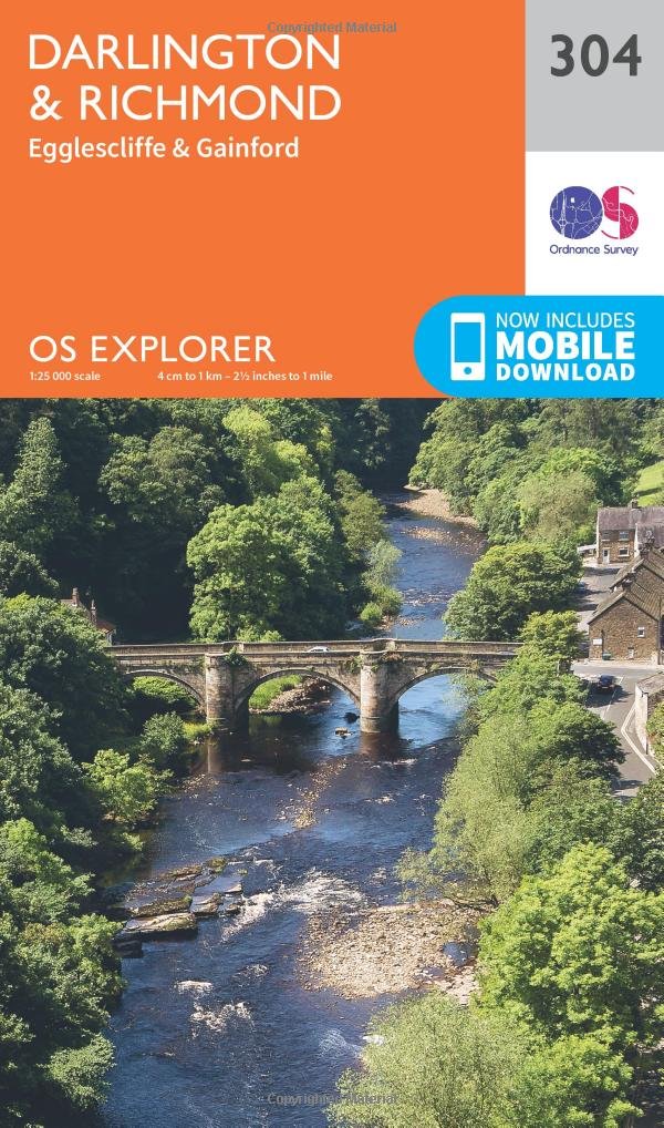
About the top third of this map covers southern Durham, mainly the Darlington area and parts north of the Tees.
Darlington (NZ 290 143) is famous for being one end of the Stockton and Darlington Railway, built by George Stephenson. The railway still runs along part of the same route. The disused part of the original route, from Middleton St George to Darlington, is visible on the map and can be walked.
Durham Tees Valley Airport is on this map. There is even a railway station, on the original Stockton and Darlington Railway.
Walking North England – Anything and everything about walking in Northern England