
Sunderland Bridge and the Weardale Way is a lovely walk around woodland, farmland, and the private grounds of Croxdale Hall.
I am always looking for good walks in Tyne & Wear and County Durham. The more built up nature of the regions means it is often difficult to get away from urban areas. So, it is nice to find somewhere so close to central Durham. Here it is though.
I am not going to claim that I made up this route myself. As with many walks the core route is in the public domain. I merely walked it and added the details you see here.
Start/end point: Northwest end of Sunderland Bridge (NZ 26484 37790).
Map: Explorer 305 Bishop Auckland & Explorer 308 Durham & Sunderland
| Ascent: | Easy but with a few short steep bits | |
| Distance: | 7.5 miles (12km) | |
| Grade: | Easy to moderate – Short steep ascents. |


Sunderland Bridge
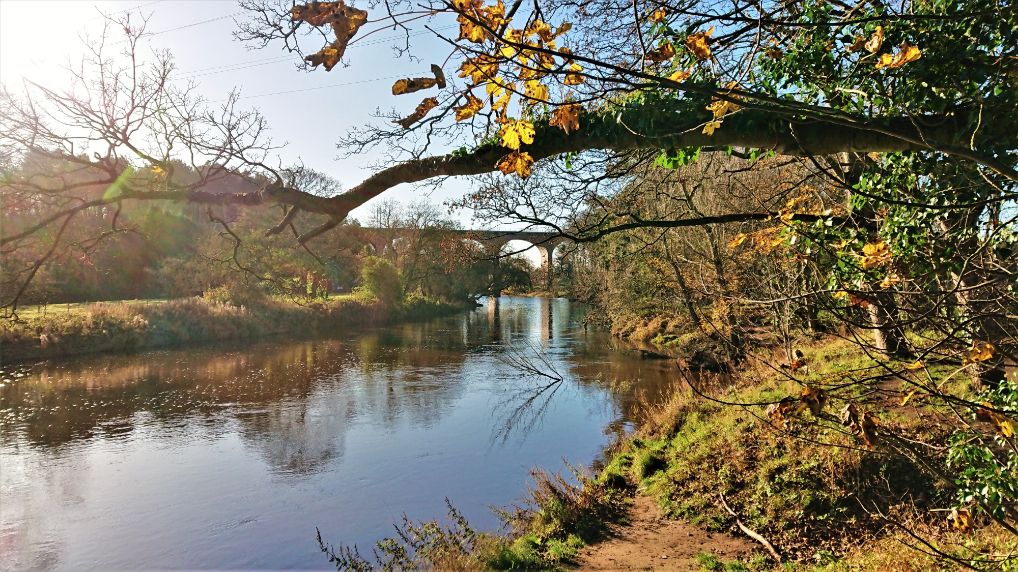
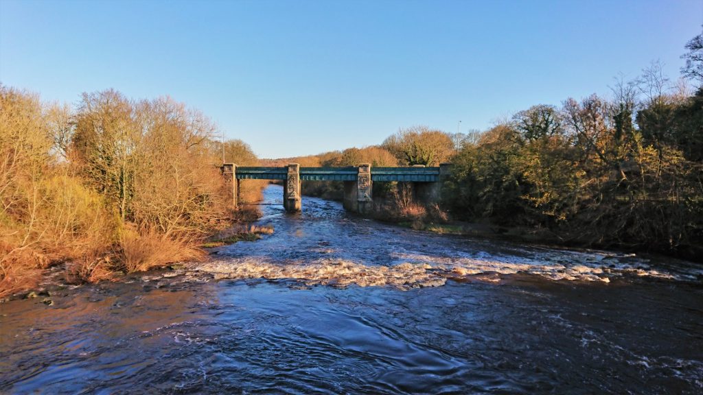
Sunderland Bridge is both a bridge and a village. The bridge is a stone built arched bridge, dating back to the 14th century or possibly earlier. It crosses the River Wear, south west of Durham, and used to carry the Great North Road (now the A1).
The village is across the bridge, from where the walk starts. Although, you would have to cross the A167 now. The village is likely a similar age to the bridge, as the old church close to Croxdale Hall is from around the 12th century.
The walk crosses the bridge at the start. It is worth enjoying the area around the bridge, before continuing. The views are lovely from both the bridge and the banks of the river.

Just over the bridge and on the left is the entrance to the grounds of Croxdale Hall. These are private but there are several public rights of way through the grounds.
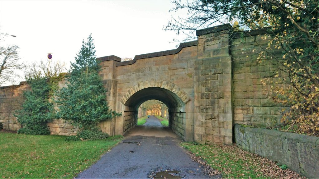
The bridleway, that is followed for the first part of the walk, is a drive for the Hall. It goes under a stone arch bridge that carries the A167. The bridge looks old but was only built in the 1920’s, when the road was diverted away from Sunderland Bridge.
Croxdale Hall
The bridleway leads around to the right, below the village of Sunderland Bridge, crossing the Croxdale Beck. There is then a short upward stretch, towards the Hall. The Hall itself can be seen through some gates on the right.
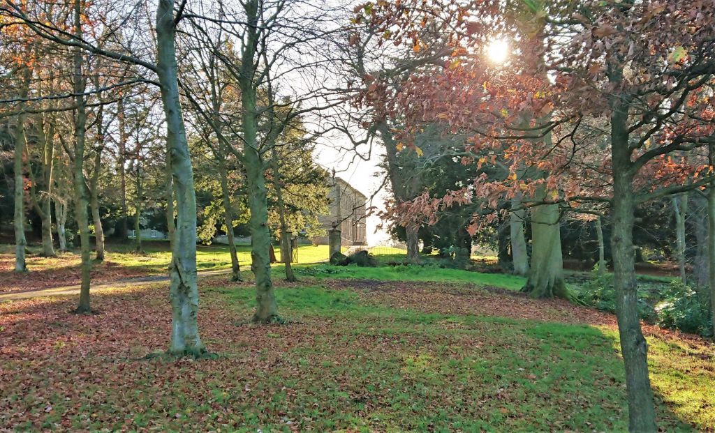
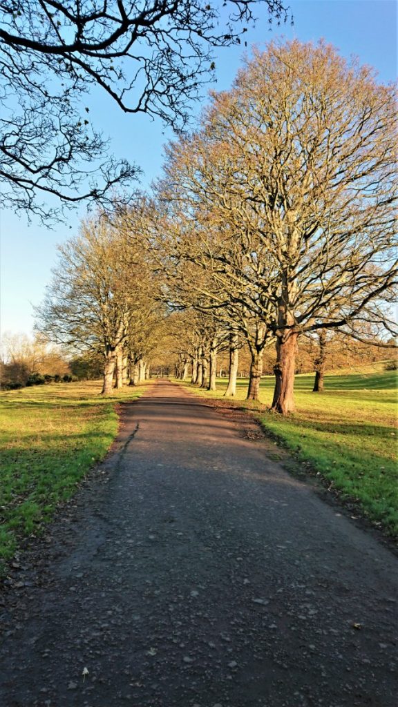
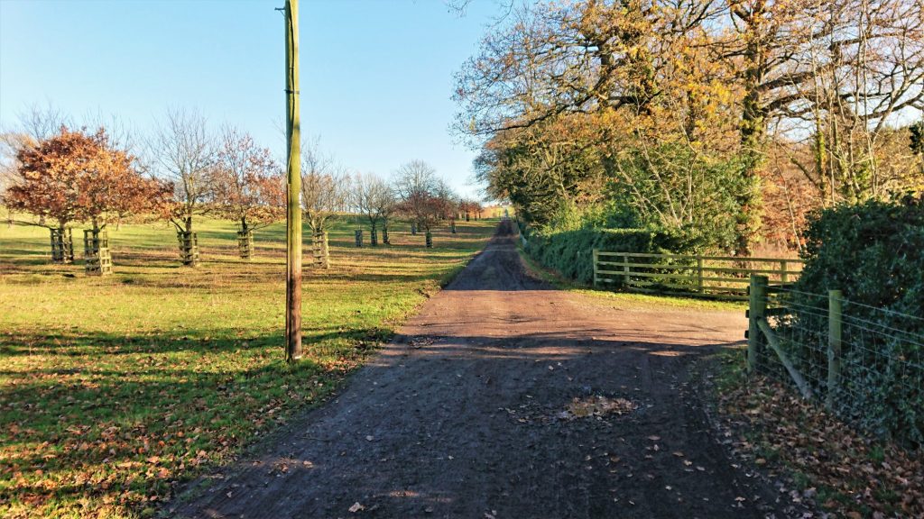
The bridleway turns right again and back towards the Hall, before turning left past the old chapel. By a stately looking barn, it turns right and left, before becoming a long straight track, that disappears into the distance.
Annie’s Wood
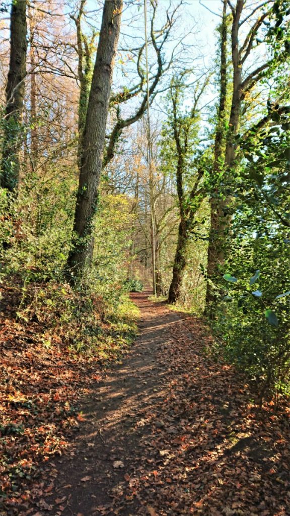
About 400m along this drive a path goes off to the right, into the woods. This is Annie’s Wood and is mainly deciduous. Who knows who Annie was, but the small wood is lovely.
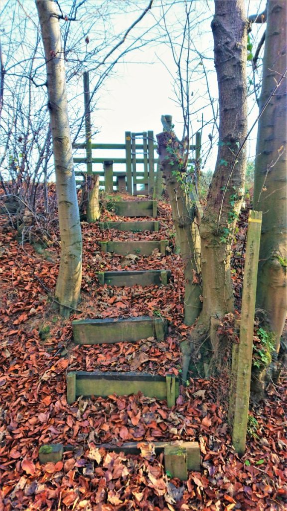
A little way along the track, and before the steep downward bit, keep a look out for the wooden steps on your left. Climb the steps and cross the stile into the field.
Southernclose Wood
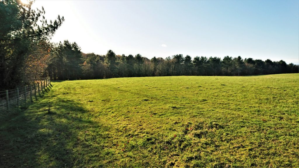
The path follows the edge of the field, on the upper side of Southernclose Wood. The slope of the field is towards the path, so it can be a bit muddy after rain.
The path turns left at the top of the field. Just past the mobile phone mast, there is a stile on the right. Cross this and cross the small bridge, to enter another field. Shortly after entering the field, there is a path on the right, leading out of the field and down into Tursdale Wood.
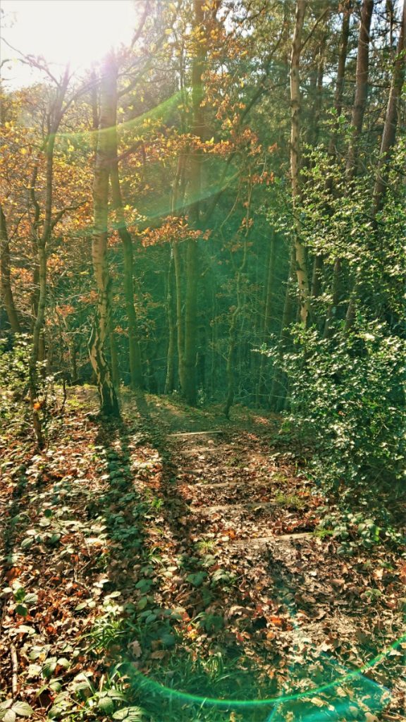
Tursdale Wood
The path descends into the wood. After wet weather, it can be a bit slippery here, so take care. Again, this is a mainly deciduous woodland. The path runs alongside the Croxdale Beck, towards Hett Mill. This is the site of a medieval mill but I’m not sure there are any remains of this mill.

Tursdale House
After the pleasant stroll by the Croxdale Beck, the path emerges onto a minor road. This is the access to Tursdale House. Follow this up the hill and round to the left. At the top there is a small hamlet. The track here heads off to the left before turning sharp right and heading north.

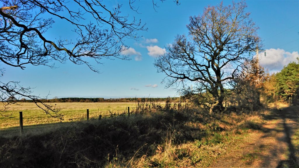
South Grange Farm
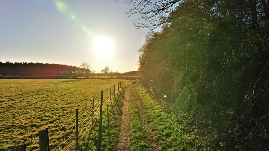
The track continues north, past more woodland and over fields, towards South Grange Farm. It crosses another track and heads north again. The track that it crosses goes west towards High Butterby Farm. If you wanted to cut the walk short, you could go this way, as the route comes back to High Butterby Farm later. However, you will miss the gorgeous Shincliffe Wood, if you take this shortcut.
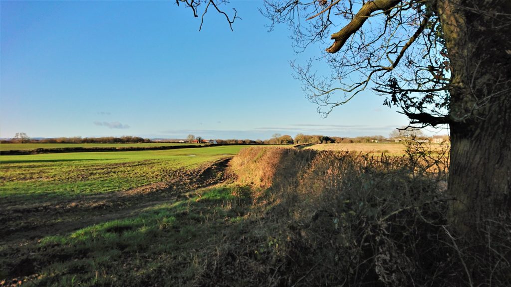
Strawberry Lane
The next part of the route has the wonderful name of Strawberry Lane, on the OS map at least. I did not find any strawberries though. Wrong time of year I suppose.
West Grange
Soon the track turns to the left and towards West Grange. The path crosses the yard and turns right, round the back of the house. You will see a stile in the corner. Cross this and walk down the field edge. The field can be a bit muddy and slippery, so take care.
At the bottom of the field, there is a path into the woods. The path through the woods goes steeply down towards Shincliffe Hall. It’s easy to follow but doesn’t really stick to the right of way. It emerges next to the hall, on the Weardale Way.
Shincliffe Wood and the Weardale Way
This is a lovely part of the walk. The path is excellent, and, in parts, it runs alongside the River Wear. Shincliffe Wood is a mixed woodland, with both deciduous and evergreen trees, which gives it a lovely, varied feel.
A little further along, past The Sliddings, the path starts to climb up. Again, it was a bit muddy. Even with the steps it was hard going but, with a bit of effort I made it.
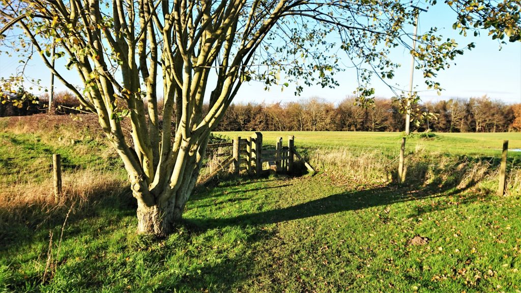
High Butterby Farm
At the top of the steps is High Butterby Farm. This is at the end of the track that the path crossed earlier. Cross the yard to a gate on the other side and join a clear track running alongside a field. The track skirts Butterby Wood, above the river, and towards Croxdale Wood House. Continue along this track.
Back to Croxdale Hall and Sunderland Bridge
The track turns left at Croxdale Wood House and weaves back towards Croxdale Hall. From there, the route simply follows the track that it started on. Retrace your steps back to Sunderland Bridge.
Route map – Sunderland Bridge and the Weardale Way
| Sunderland Bridge | |
| Croxdale Hall | |
| Annie’s Wood | |
| Southernclose Wood | |
| Tursdale Wood | |
| Tursdale House | |
| South Grange Farm | |
| Strawberry Lane | |
| West Grange | |
| Shincliffe Hall | |
| Shincliffe Wood and The Weardale Way | |
| High Butterby Farm | |
| Croxdale Wood House |
Download files – Sunderland Bridge and the Weardale Way
Downloads are free. However, if you find these useful, I would be grateful if you could donate something to the Mountain Rescue Teams. Find links to the teams here. If you donate, can you please leave a message in the comments section for this walk, so that I know I’m doing some good.
Gallery – Sunderland Bridge and the Weardale Way


Walking North England – Anything and everything about walking in Northern England